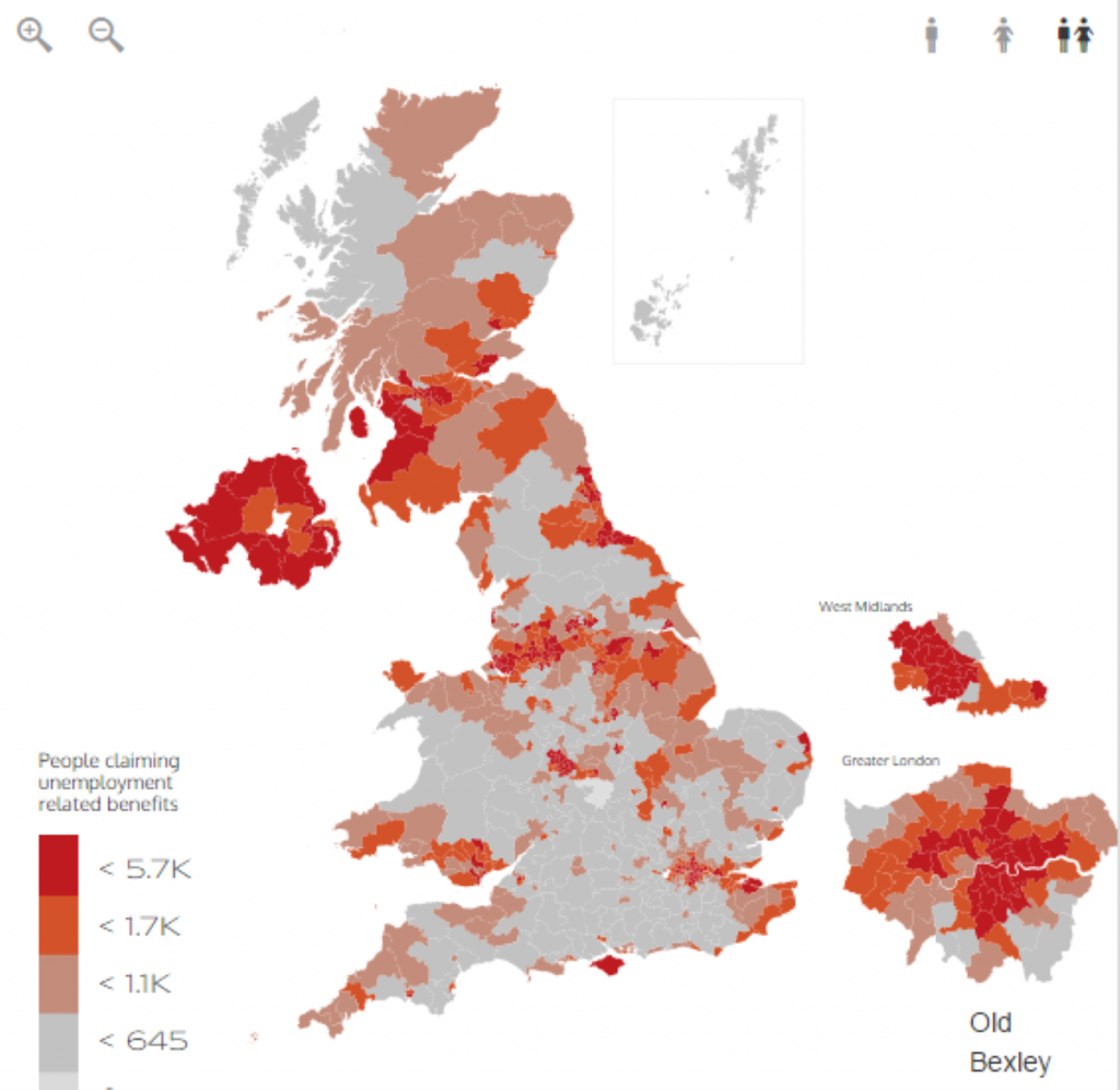
Mapped Out: Unemployment-related benefits by constituency
Use our interactive map showing the number of people claiming unemployment related benefits by parliamentary constituency.
Click on the map to view the constituency of your choice. Alternatively, you can select "Hide Map" to use the constituency drop down or click on the magnifying glass icon to search by postcode.
To view the full size version of this map, click here.
Data from the Office for National Statistics. Published February 17th, 2016. The map is rendered using Politics.co.uk's constituency mapping tool: PoliMapper.


-01.png)